01
Data entry errors
Re-typing in the evening at camp
Paper notes go into Excel, then into another file. At each step you lose or distort. The final numbers no longer reflect what was actually seen in the field.
Geological data platform for mineral exploration
Plan your campaigns from the office. Your geologists capture observations, samples and drilling in the field, even without a network. Every data point is timestamped, geolocated and provable, and lands automatically in your dashboard and GIS tools.
What costs you every day
Paper notes go into Excel, then into another file. At each step you lose or distort. The final numbers no longer reflect what was actually seen in the field.
Without the photo, exact location and time of a sample, you have nothing to show in a disagreement with a buyer, partner or auditor.
When regulators or financiers ask for the history, your team spends two weeks rebuilding data that should already be there, ready.
Our approach
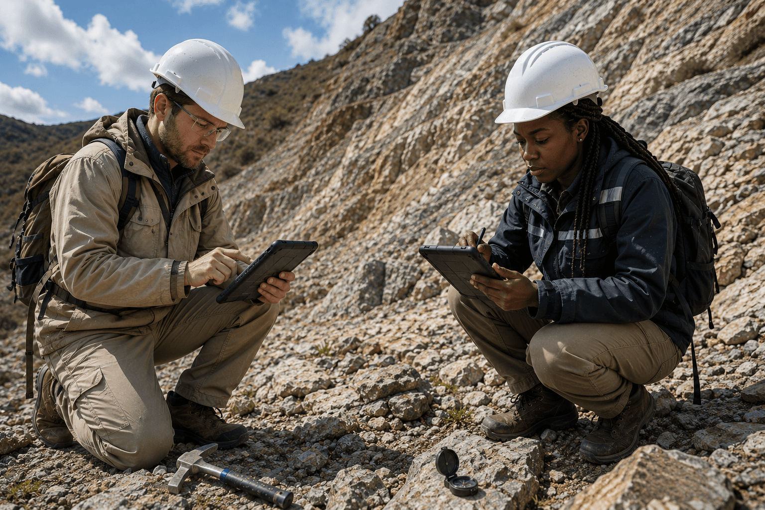
For your field geologists
The geologist captures geological observations, samples and structural measurements from their phone. Photo, GPS and time recorded automatically. The app works offline and syncs everything as soon as a connection is available.
For your drilling campaigns
From the drill plan to detailed logging: lithology, structures and samples by depth interval along each hole. Exports ready for your modelling software.
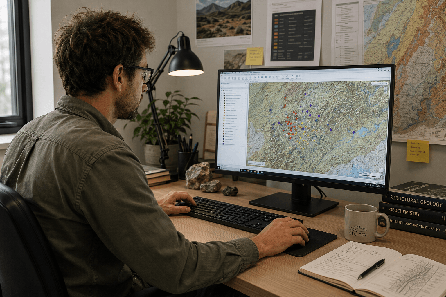
The office drives, the field executes
From the office, you plan a mission: observation points to visit, holes to drill, an assigned team of geologists, instructions. The field receives its roadmap, executes, and progress flows back automatically.
From sample to usable result
Sample reception, quality control, analytical results linked back to each original sample. And all your data exportable to the tools your team already uses.
Security and reliability
Every action is recorded. Who, when, what. No one can erase or modify after the fact.
Your teams work even where there is no connection. Everything syncs automatically when they're back online.
Minalya sends your data to the software you already use. No brutal migration, no heavy training.
You choose where your data is stored: our servers in Europe or yours. You stay in control of your information.
Who it is for
You have clear proof of everything your team did in the field. Your reports stand up to scrutiny. You measure each person's productivity.
You show your management and board reliable, traceable data. Your regulatory reports are ready in a few clicks.
Your data stays with you, in the tools you already use. Minalya integrates cleanly, without creating yet another data silo.
You access a complete history for every sample. No more chasing after evidence when a file needs to be validated.
Deployment
A 30-minute demo to see the platform in action, scoping of your needs, configuration tailored to your site, and training of your field teams. Service start in a few weeks, ongoing support included.